01 Feb 23:
A nice compilation of waterways in our new locale, with GPS coordinates:
Top Streams in Isle of Wight County, Virginia
We have quite a few places to muck about in our new area, who knew there were so many creeks and swamps out here? We've been on Burwell's Bay, James River a few times, and there are ramps nearby for three of the creeks on the list, which lead into some of the other creeks. Maybe we can check out all of them, but the last on the list are Rattlesnake Swamp and Tormentor Creek.
We'll be watching the tide chart!
 |
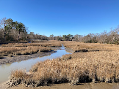
| Cypress Creek near Smithfield Station. |
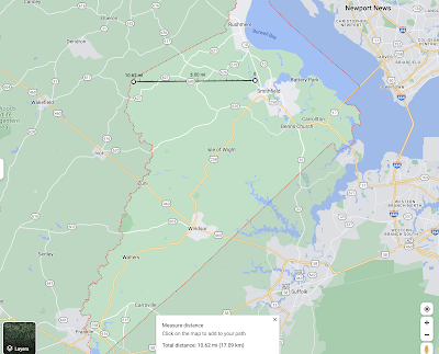
One interesting part of our research, in the early 1800s there were proposals to connect the top of the Pagan River with the inland Blackwater River that runs down the County's western border, using a canal. This would have connected inland trade to both the James River and down the Blackwater-Chowan to Albermarle Sound. They only needed 10 miles of canal to do it, but it never happened. Had they done so, they would have made this part of SE Virginia and NE North Carolina an Island. A few decades later the railroads started laying track everywhere and waterway trade began to dry up. Trivia: Norfolk, VA is an island.
 |
| Pagan River - Blackwater River Canal |
FMI: Smithfield Seaport
No comments:
Post a Comment